atNight
300.000 Km/s, 2013
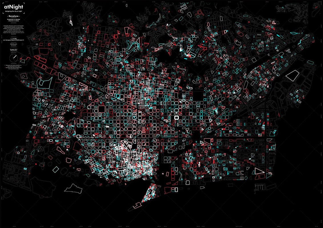
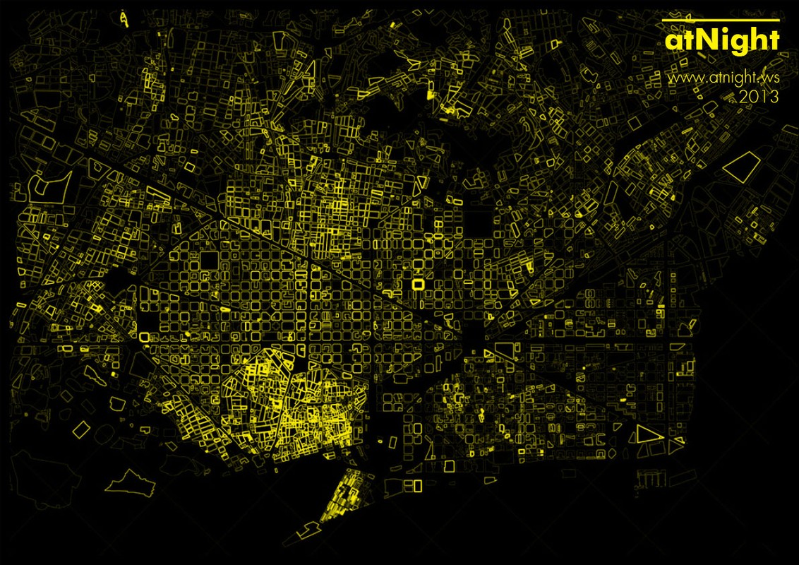
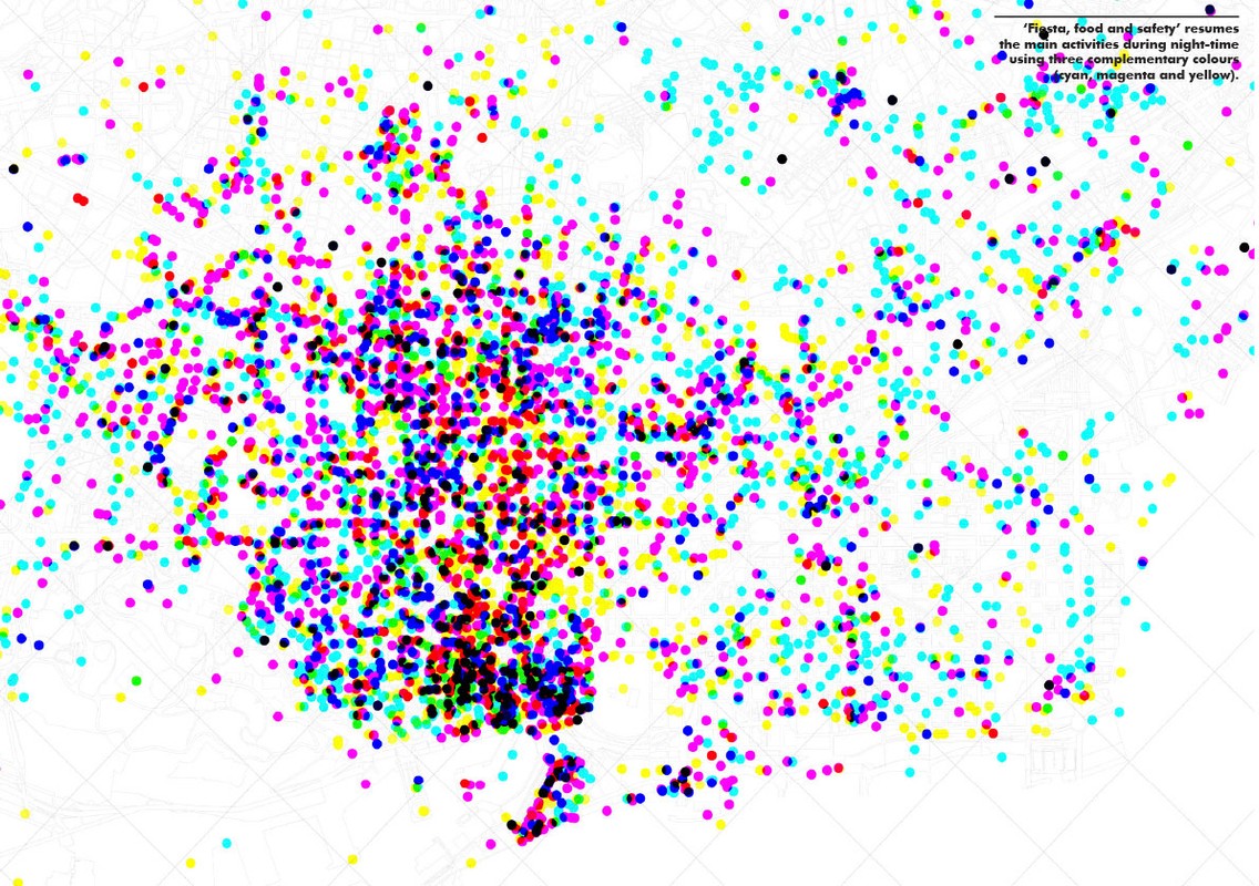
"Cities are complex organisms in flux, requiring variable representations and interpretations. Specifically, nighttime turns into a moment of revelation and radicalization of certain urban phenomena. For instance, whereas monuments shape the identity of many contemporary cities, at night these main architectonic symbols fade into darkness. By contrast, entire buildings occupied by banks or hotels emerge as landmarks, uncovering a hidden cultural, economic and political order. Nocturnal and diurnal cities project completely disconnected images, following contrasting hierarchies of values.
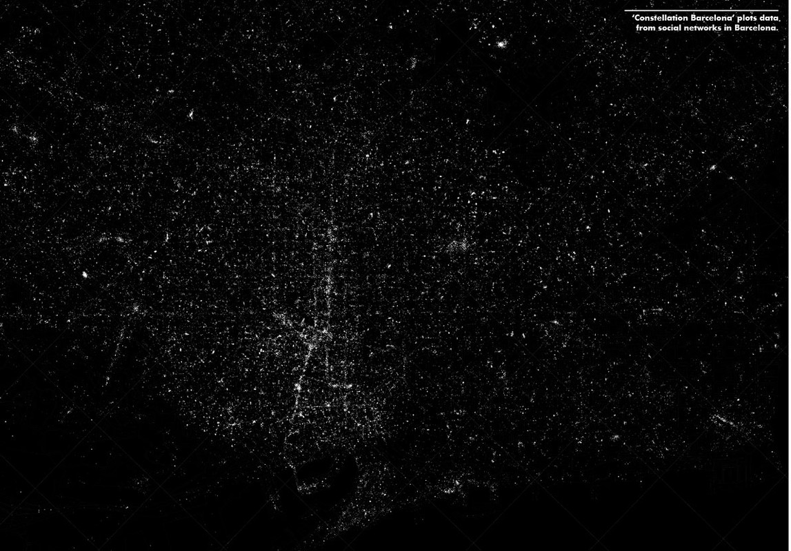
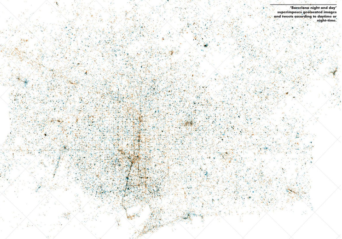
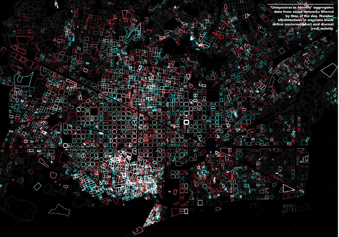
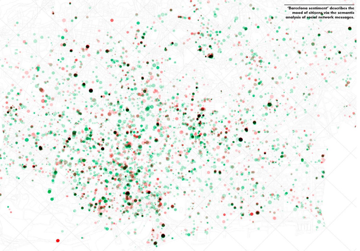
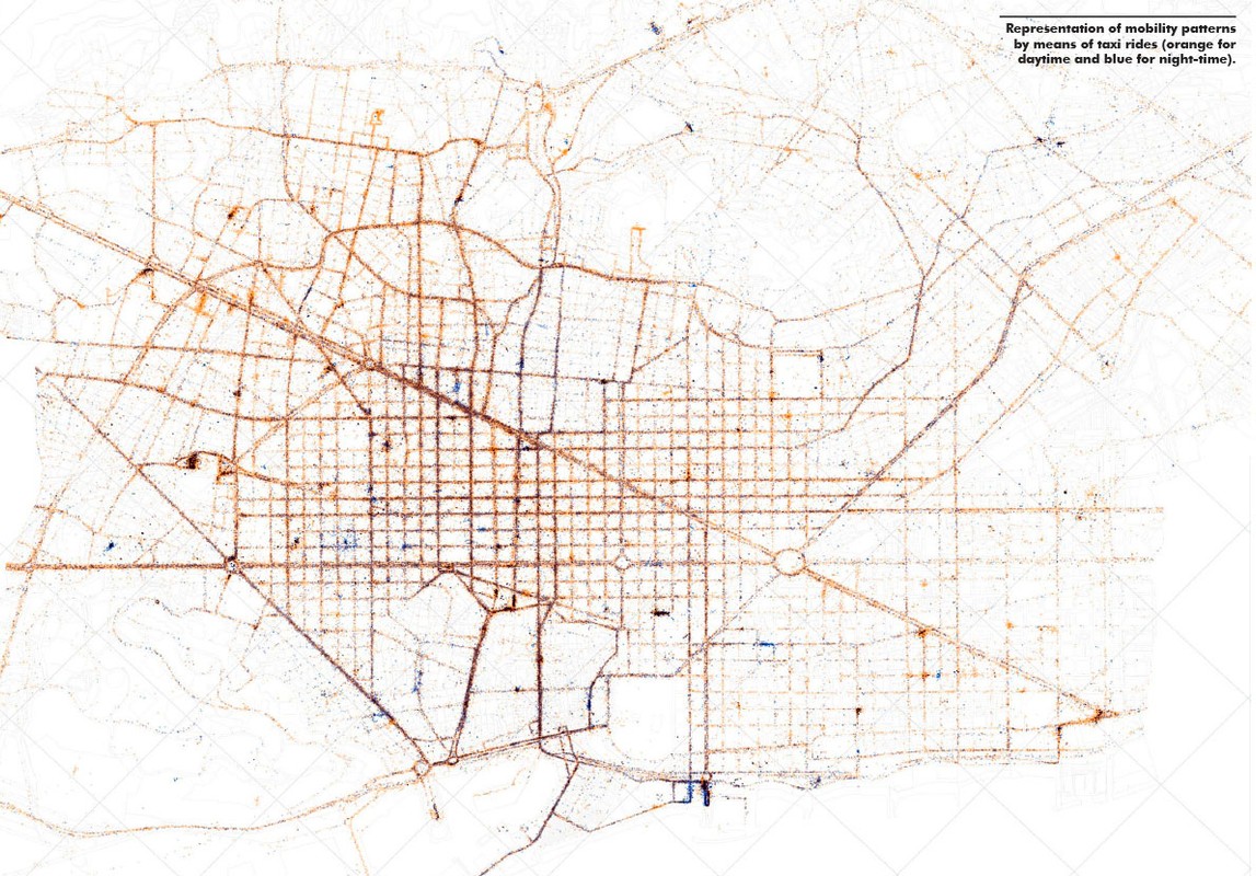
The ?atNight? project develops new instruments to capture the intangible (i.e. values other than urban plots and facade geometry), taking information from citizens? interactions (actions, activities, emotions) as the basis for planning better nocturnal urban environments both in terms of energy consumption, security, visual image and social identity. We have depicted the city using data from geo-social streams (Twitter, Instagram, Google Local and Flickr) and local open data sources. The research followed several phases, from the design of capture engines, to the management geographic information systems (GIS) data. We allowed parameters to be set and tuned in accordance with the time of the day to interpret the differences between nocturnal and diurnal realities.
We could effectively recognise singularities and heterogeneity within the urban fabric. For instance, we obtained divergent densities of data at distinct locations, as well as diverse results when comparing the same values and locations according to the time of the day. In the light of these outcomes, we can visualize how urban activity fluctuates by area and time. This activity becomes measurable and therefore enables comparisons and objective evaluations.
It?s crucial to delve into this line of research. Today, urban planning still relies upon traditional cartographic information (topography, plot, division, usage) and neighbourhood-level statistics. These long-established practices are inadequate in comprehending the interaction of citizens. Newly accessible cartographic information will be an inestimable tool for citizen empowerment, enabling individuals to take collective decisions about the intangible cities we inhabit day and night."
Links
Authors
Project Partner
In collaboration with Citelum Ibérica S.A.