Competition 2018: Nominated in the category ArtAdvocacy
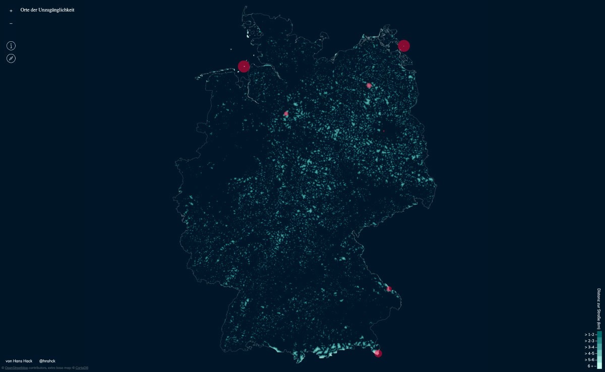
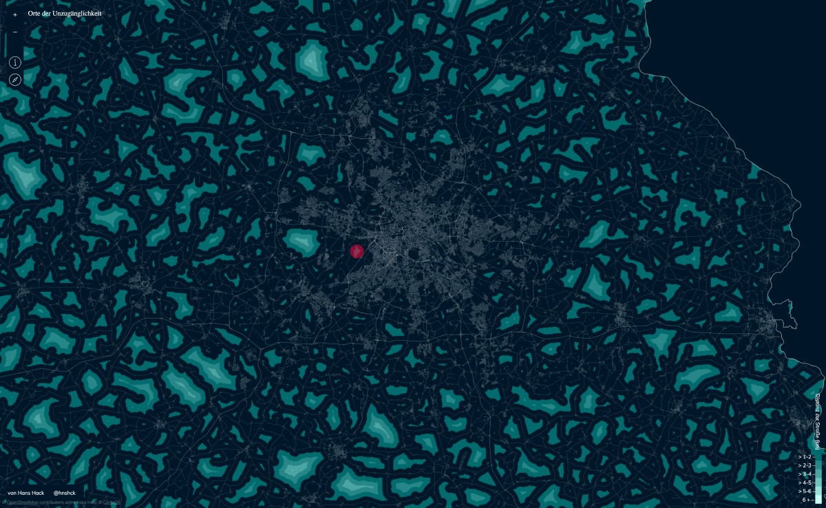
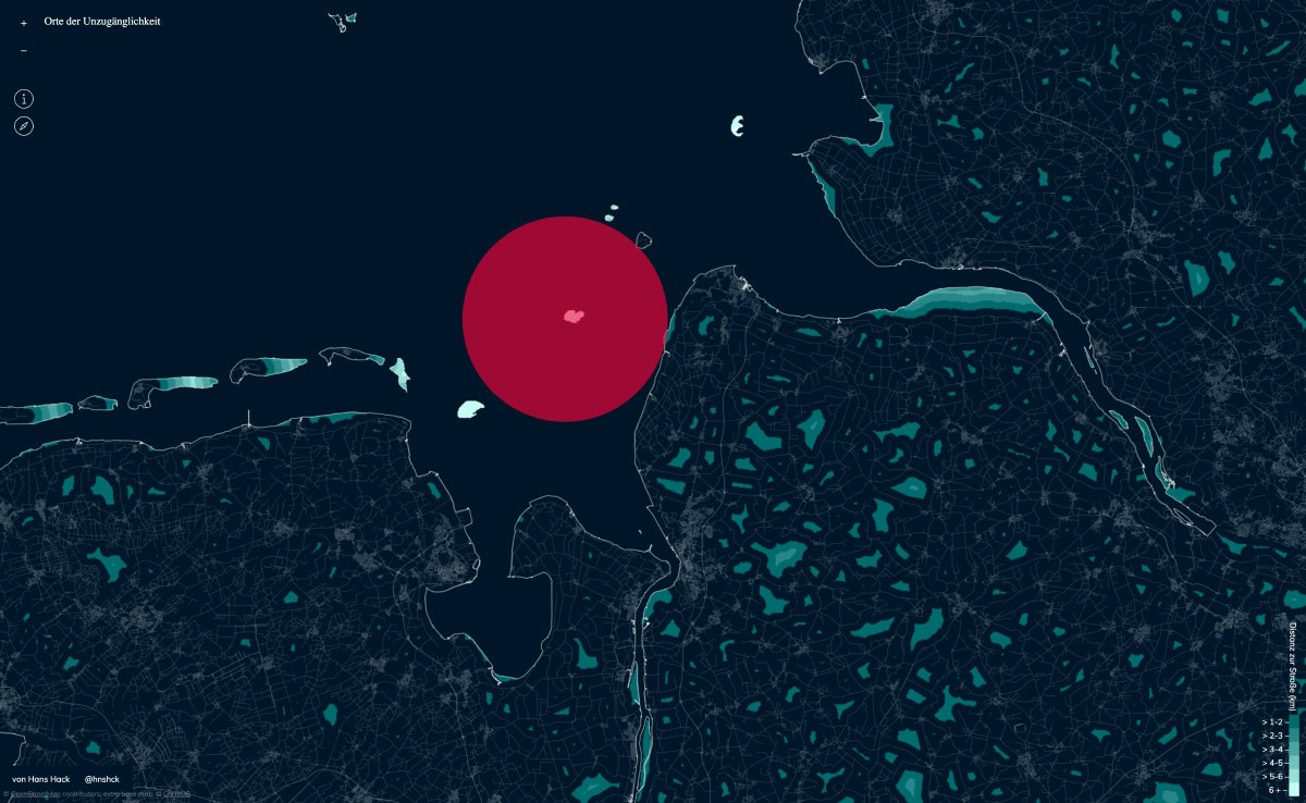
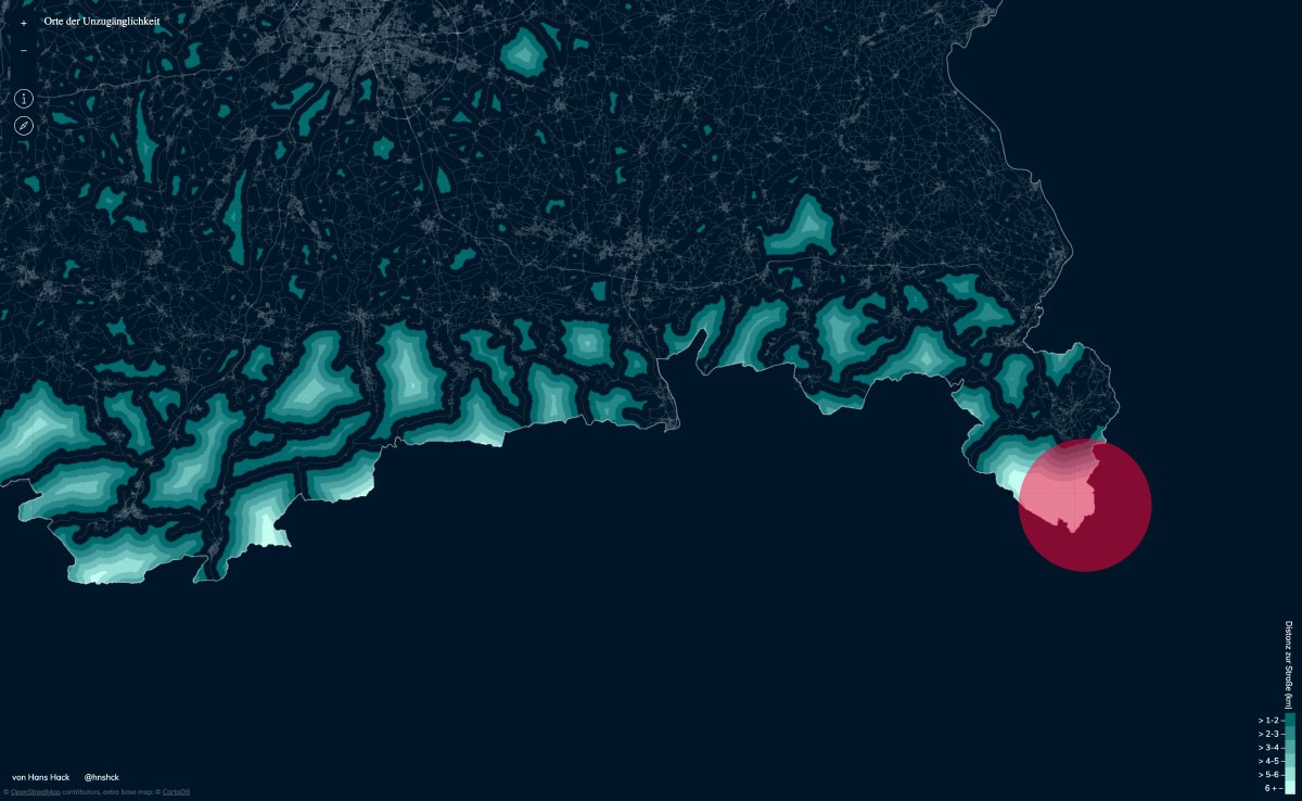
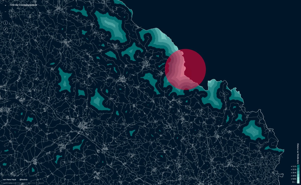
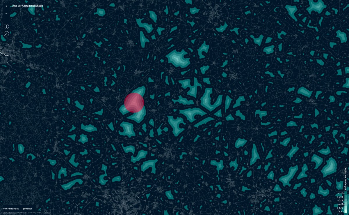
Orte der Unzugänglichkeit
Hans Hack, 2017The map shows the places furthest away from a road in Germany. For the calculation a grid of points at a distance of 200 meters was laid over the map of Germany. For each individual point it was then calculated how far it is from there to a road. The calculation is based on OpenStreetMap data.