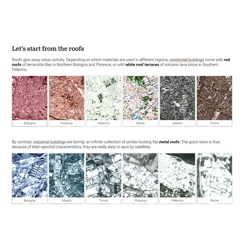
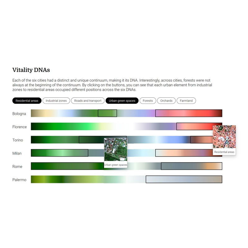
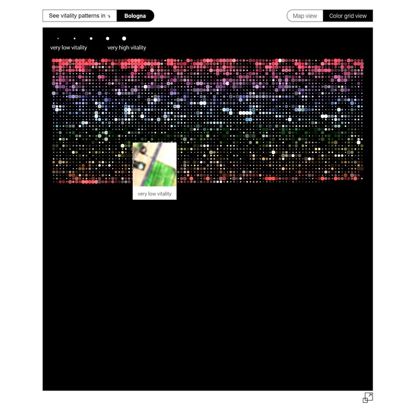
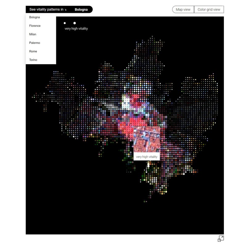
Jane Jacobs in the Sky 8,400 small satellite images are used to spot the most vibrant neighborhoods in six Italian cities
Nokia Bell Labs, 2021Back in the 1970s, activist Jane Jacobs theorized urban vitality and found that there are four conditions required for the promotion of life in cities: diversity of land use, small block sizes, concentration of people, and mix of economic activities. Without them, a city will die. With them, it will flourish. With modern technologies, high pedestrian activity is, nowadays, captured from multiple sources - from mobile phones to surveillance cameras to even social media. Unfortunately, all these sources are virtually unavailable as they are held by private companies. What can be accessed by everyone? The sky! Our project investigated whether it was possible to predict and visualize urban vitality based on one, openly available source: Sentinel-2 satellite imagery. First, we developed a state-of-the-art deep-learning framework to predict vitality scores in six Italian cities: Bologna, Florence, Milan, Palermo, Rome, and Turin. Second, we utilized image processing techniques and color frequency analysis to design a visual essay, that unfolds the connections between the vitality levels, unique city colors and typical urban features. The essay is told through four interactive visualizations: color swatches, deep-learning framework explanations, urban DNA stripes and dot grid maps. These vitality depictions are easily understandable for urban dwellers and democratize access to hidden vitality discoveries.
Links
Authors
Project Partner
Nokia Bell Labs, Social Dynamics Team, https://social-dynamics.net/