Nahes Grün / Fernes Grün (Near Green / Far Green)
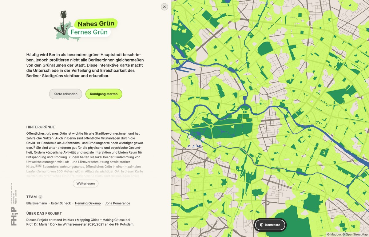
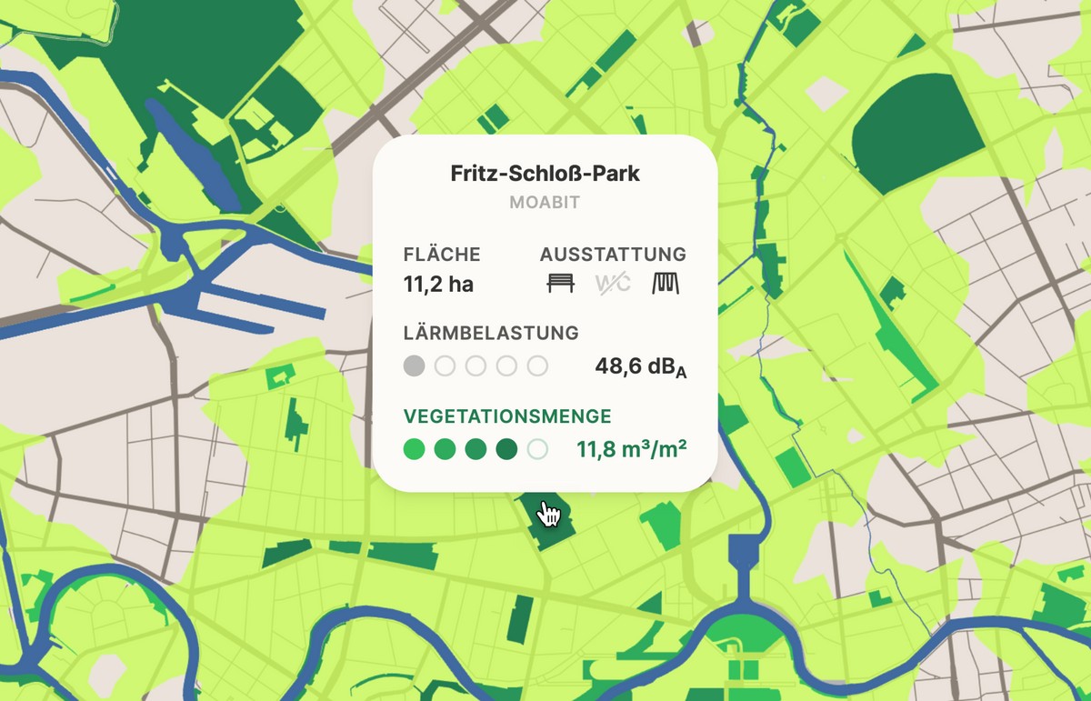
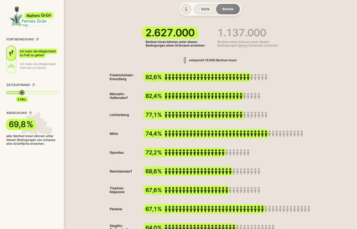
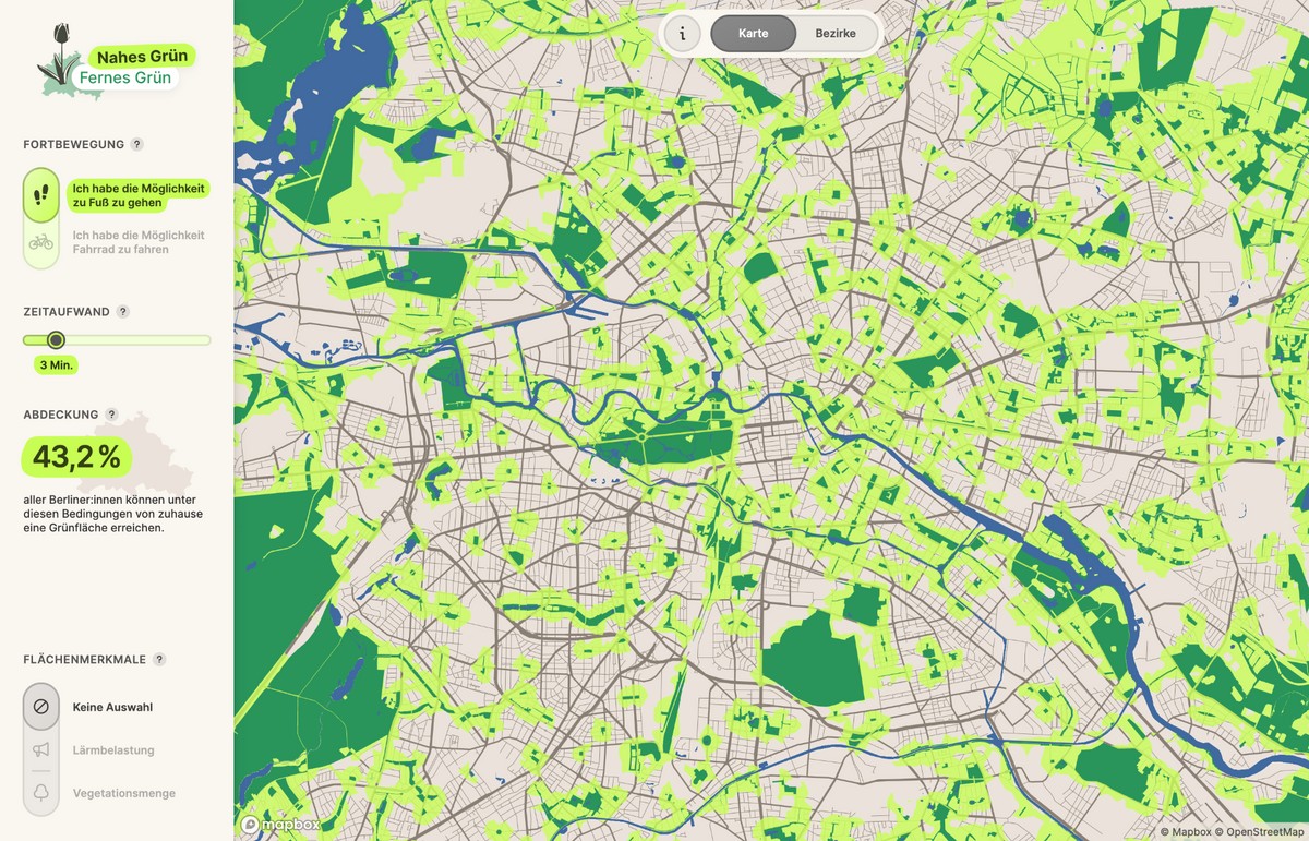
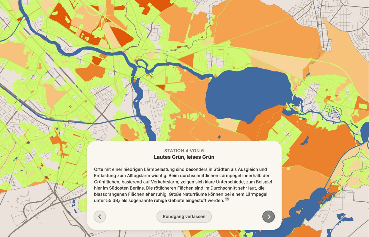
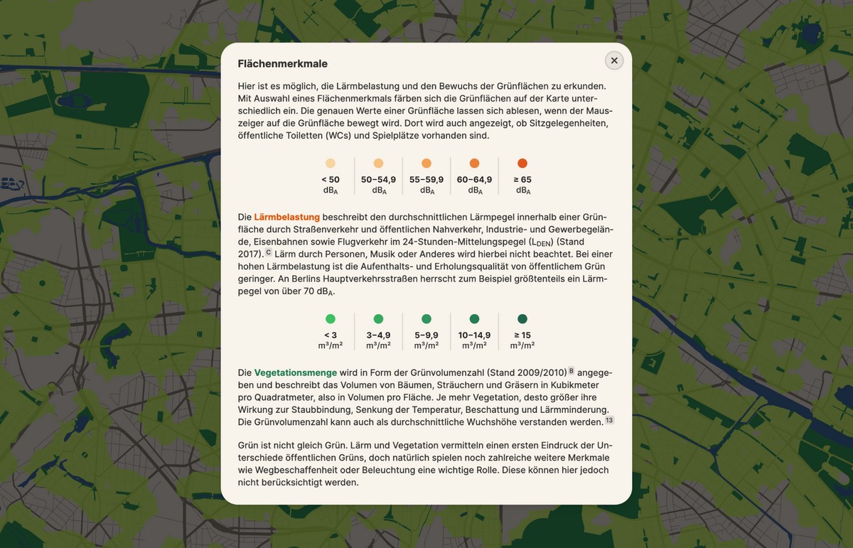
University of Applied Sciences Potsdam, 2021Nahes Grün / Fernes Grün visualizes the distribution and reachability of green spaces in Berlin along mode and time. Berlin is often described as a particularly green capital, but not all Berliners are able to benefit equally from the city's green spaces. This interactive map renders the differences in the distribution and accessibility of Berlin's urban green spaces visible and explorable. This project was developed within the course "Mapping Cities - Making Cities" with Prof. Dr Marian Dörk in the winter semester 2020/2021 at the University of Applied Sciences Potsdam.