Virtual World (Virtuelle Welt)
German Aerospace Center (DLR), 2016
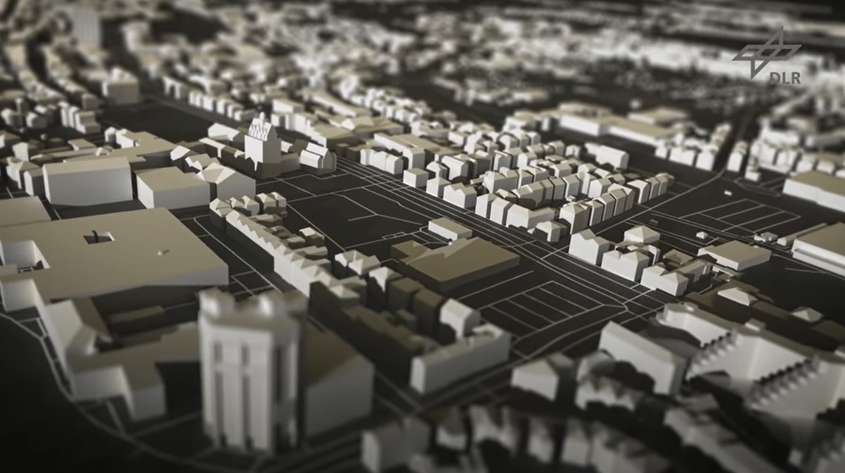
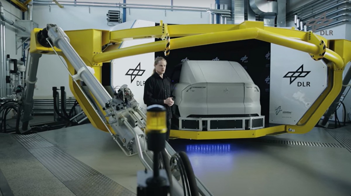
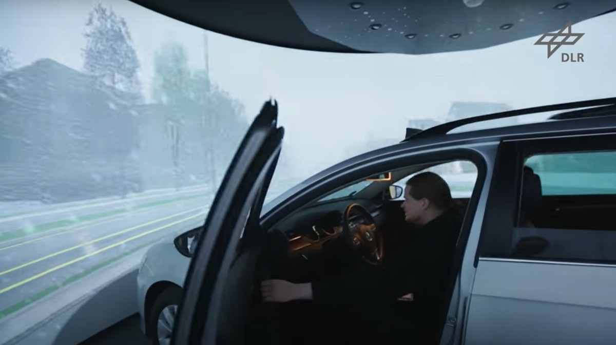
For the development of advanced driving assistance and automation systems the simulation plays an important role. Urban areas get increasing emphasis, especially in the context of future Car2X-communication. The project's goal was to model such virtual three-dimensional (3D) environments and logical road descriptions automatically based on a tool chain from heterogeneous geographic datasets (e.g., cadastral data, road surveying, aerial pictures, and crowd-sourced data). As proof of concept, the urban area of Braunschweig, Germany, was chosen.
The generated 3D city model outperforms similar city models in terms of details, especially regarding the completeness of the road model with all relevant traffic infrastructure elements. Our current and future research focusses on transferring this approach to other geographic locations and to use such detailed city models for development of smart city applications, urban planning and emission simulation in combination with virtual and augmented reality technologies.
Links
- https://www.dlr.de/ts/desktopd...
- https://doi.org/10.1177/003754...
- https://www.youtube.com/watch?...
- https://www.arcaktuell.de/01-2...