Designing urban landscapes digitally. Web-GIS mapping tool of Berlin TXL
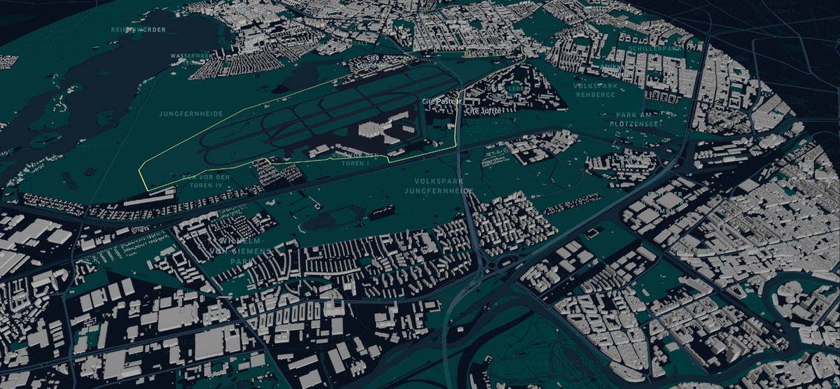
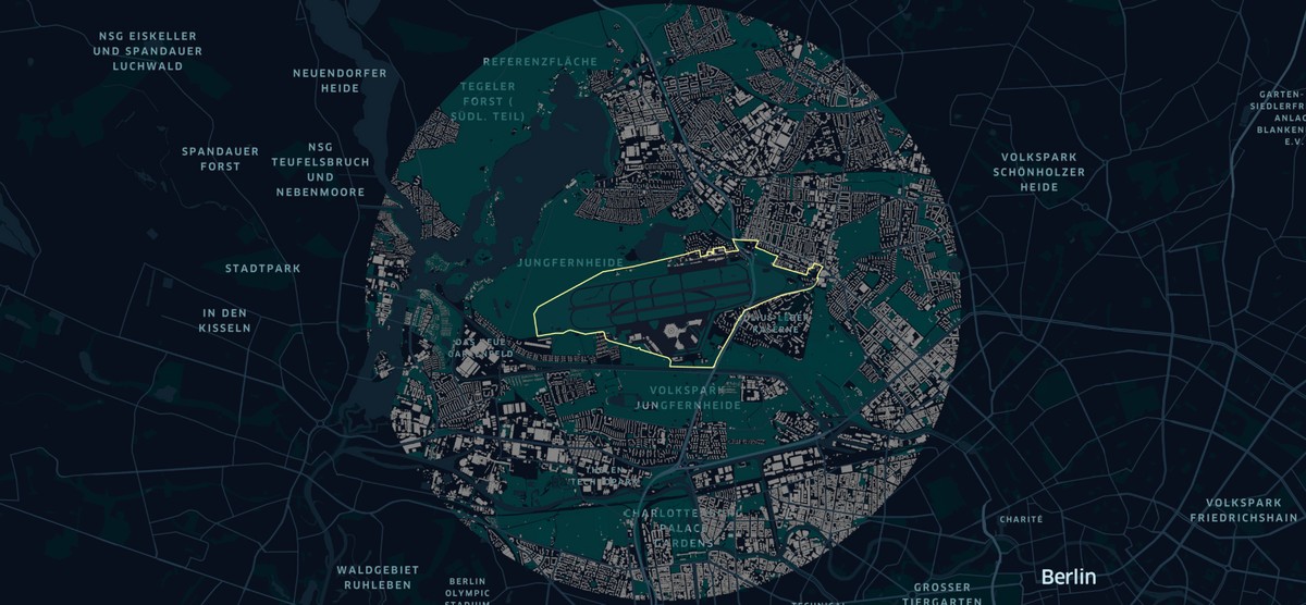
Digital City Science - HafenCity University, 2021Data on urban issues is becoming much more important, both in managing time and resources and in shaping the future. In times of smart cities, urban planners who have to deal with data visualisation on a daily basis are among the most important actors. In addition, there is the highly collaborative interdisciplinary expert world of designers, programmers, engineers, architects and planners in the field of urban development. Not only the experts, but also the economy, citizens and politicians want something "visible". In this master’s thesis I have developed an interactive map for the urban development project Berlin-Tegel Airport (TXL), directly with Tegel Projekt GmbH. The basic idea is to investigate the relevance and usefulness of web GIS for urban planning. The core of the thesis is concerned with the question of how modern urban planning processes can be supported by data-based tools. The master’s thesis examines the interplay between modern visualisation tools and classical urban planning activities. The content and connectivity of the work is starting from the content of urban planning studies, bridges to methods of design and software development, to geoinformatics and data science. The Web-GIS mapping tool for the Berlin TXL clearly demonstrates the benefits of Open Data and its possibilities for advanced geodata visualisation and for supporting collaborative planning and development processes. The methodical process from data analysis, user-centred design, surveys, the conception and evaluation of a prototypical mapping tool is exemplary. As a result, the use of interactive maps in planning is given not enough attention, although digital mapping tools support collaborative working. Future research could work on the aspect of collaborative working by facilitating the integration of interdisciplinary exchange through web-based mapping technologies.
Links
Authors
Project Partner
Tegel Projekt GmbH