Competition 2018: Nominated in the category ArtAdvocacy
What the Street!?
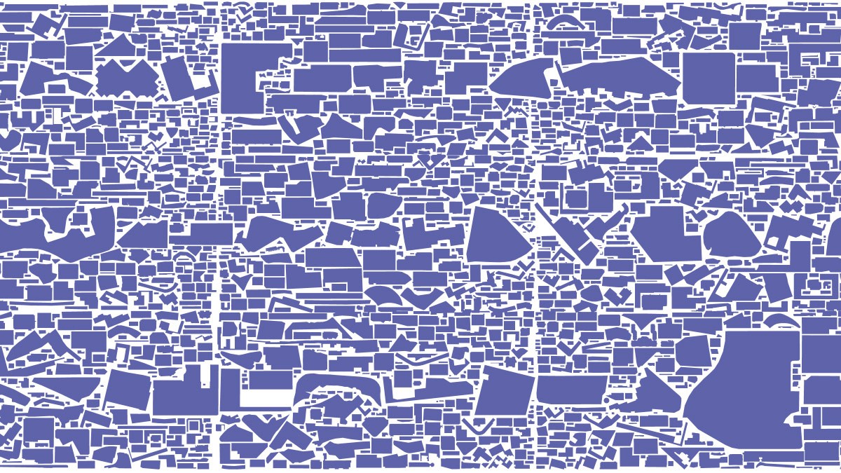
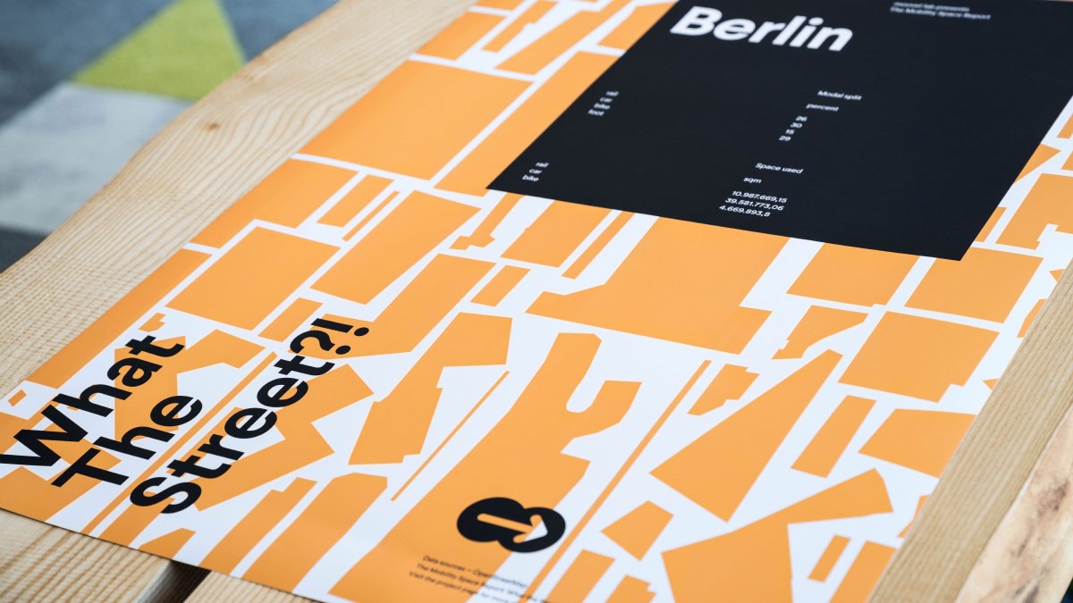
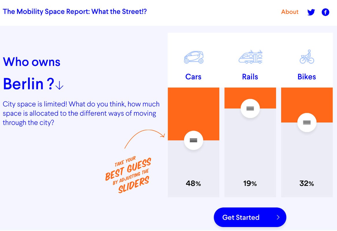
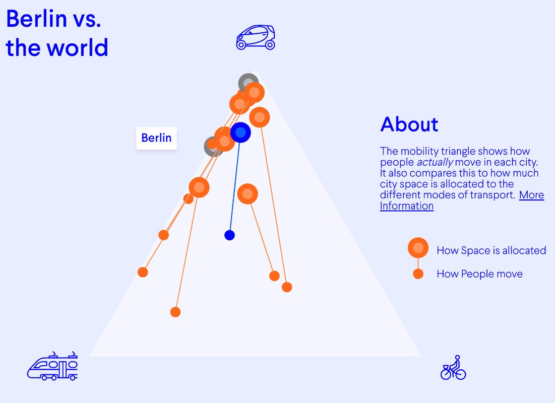
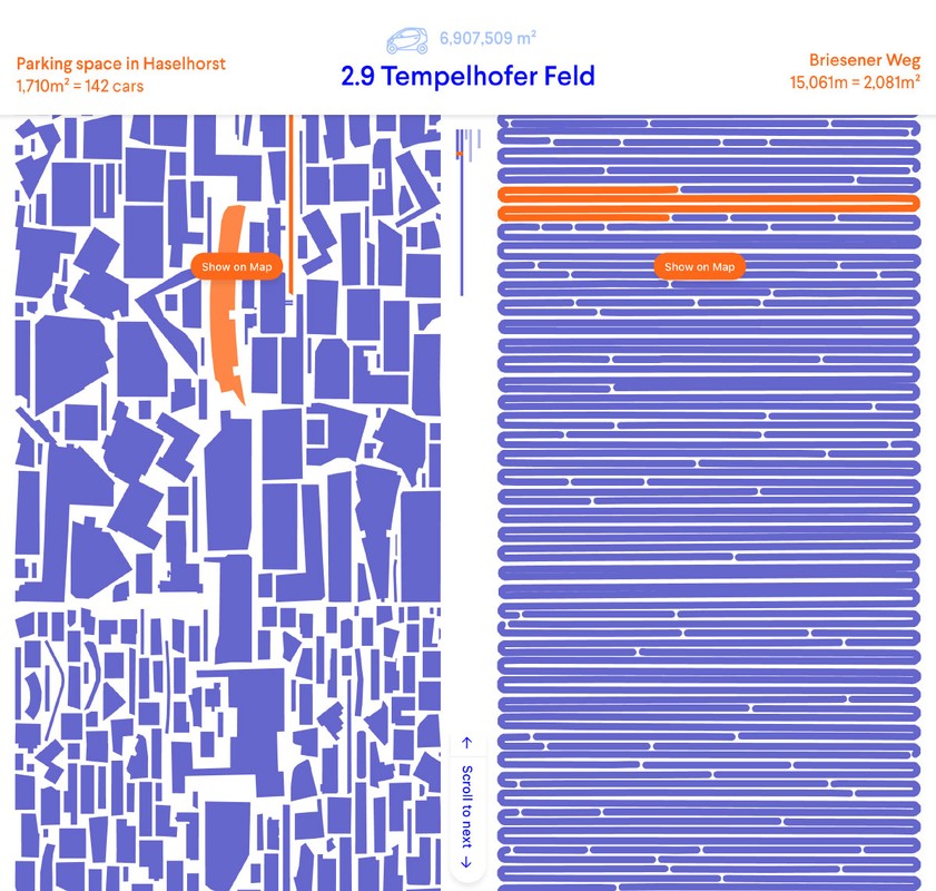
Moovel Lab, 2017What the Street!? is an open-sourced online platform that visualizes massive user-generated urban infrastructure data from OpenStreetMap for the interactive exploration of city-wide mobility spaces. Using polygon packing and graph algorithms, the platform rearranges all parking and mobility spaces of cars, rails, and bicycles of a city to be directly comparable, making mobility space inequality accessible to a broad public. Apart from packing parking spaces and rolling up street, bicycle path, and rail spaces for 23 cities worldwide, What the Street!? introduces the mobility triangle for comparing modal shares with available mobility spaces, confirming visually the arrogance of space, i.e. the allocation of a privileged amount of urban space to cars at the expense of sustainable mobility like cycling.

Links
Authors
Project Partner
moovel lab